A blank outline map of the United States is not a geography lesson. It is a coloring sheet with extra guilt. Kids remember places when they have a reason to look: a pizza delivery route, a storm on the news, the trail to the park.
Geography for Life, the national geography standards used across social studies frameworks, treats map work as a set of skills: asking geographic questions, getting information from maps, organizing it, and using it. [1] That is closer to "can we get to the library before it rains" than "label all 50 states by Friday."
Quick takeaways
- Start with the room, then the block, then the city. Continents can wait.
- Every activity below uses a real question, not a fill-in-the-blank.
- Ten to twenty minutes is enough. Repeat the same map until they own it.
- Start with the room, then the block, then the city. Continents can wait.
- Every activity below uses a real question, not a fill-in-the-blank.
- Ten to twenty minutes is enough. Repeat the same map until they own it.
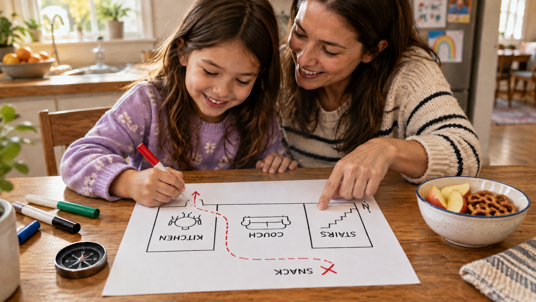
1. Treasure map of the house
Draw the floor plan together. Hide a snack. They write three landmarks (couch, fridge, stairs) and a dotted path. The skill is symbols and a simple key, not artistic talent.
2. Window compass
Stand at the same window each morning. Mark north with a sticky note after you check a phone compass once. Then ask: which way does the sun hit at breakfast? Kids who can name cardinal directions in their own house transfer that to a paper map faster.
3. Walk the block, then draw it from memory
No clipboards on the walk. When you get home, they sketch the block: stop sign, neighbor's red door, the hill. Compare to a printed map later. Mental maps are a Geography for Life skill, not a cute extra. [1]
4. Kitchen recipe map
Pick dinner. Find where one ingredient comes from (bananas, rice, cheese). Put a sticker on a world map. One sticker a week beats a unit on "the continents" that nobody revisits.
5. Weather map Monday
Open a national weather map. Find your town. Find the storm. Ask: if that system is west of us, what might Tuesday look like? Scale and movement show up without a lecture.
$20 off your first class WITH promo code: blog
Build the Education your Kid Deserves
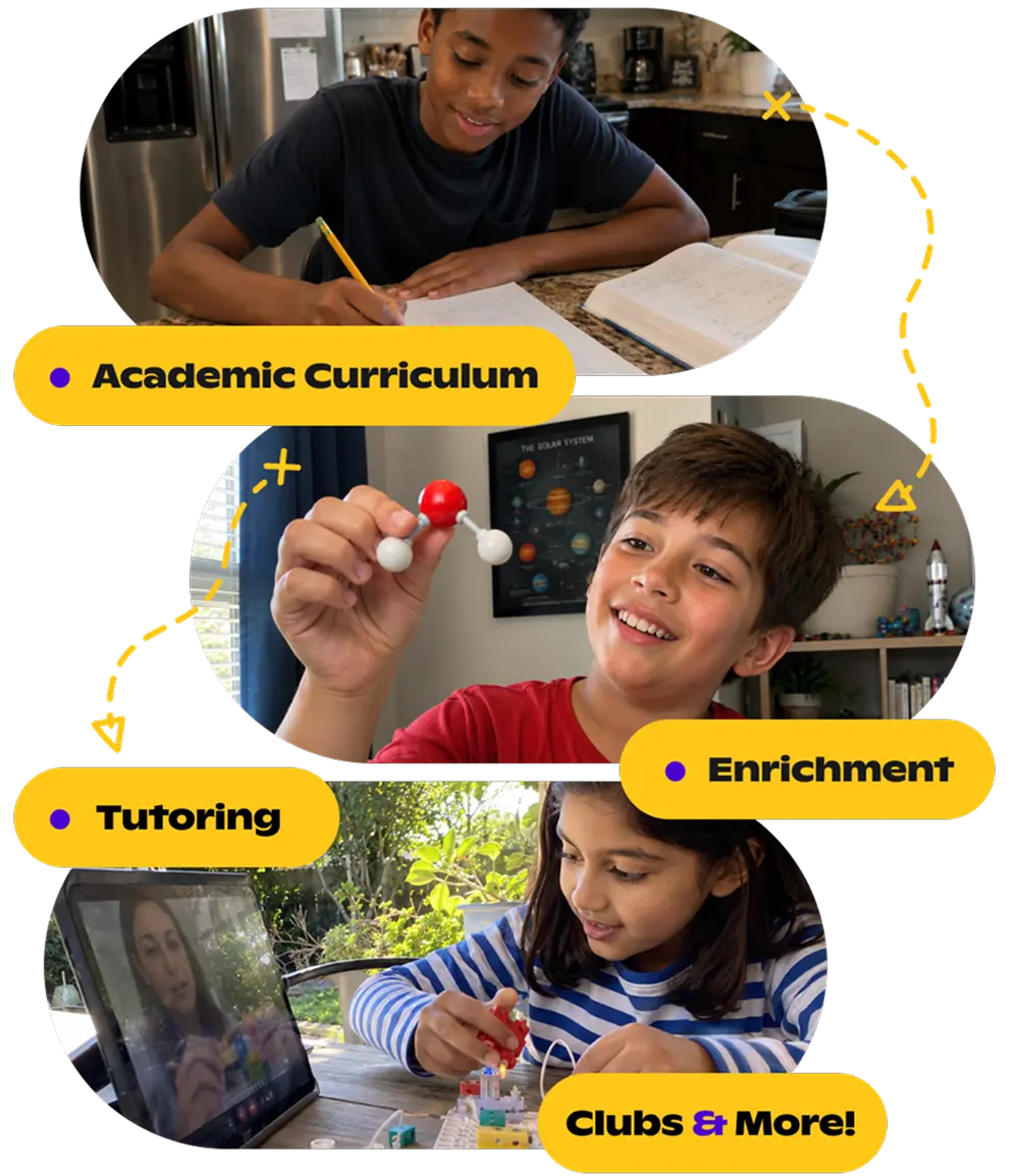
Discover thousands of live classes taught by expert teachers, across academics and enrichment.
Browse classes6. Library scavenger with a floor map
Most libraries post a floor map. Give three targets (picture books, restroom, holds shelf). They plan the route before they walk it. That is using a map to make a decision, which is the whole point.
7. Scale with footsteps
Measure the driveway in kid steps. Then look at a neighborhood map and guess how many steps to the corner. Check. Scale becomes a body thing, not a ratio they forget.
8. News story pinboard
One story a week. They pin the place and write one sentence: who, where, why it matters here. Keep the board up so the map fills slowly.
9. Grid game
Make a 4-by-4 grid on paper. Hide a paper "ship" or stuffed animal location with coordinates (B3). They guess. Letter-number grids show up on real atlases. This is the game version.
10. Plan a pretend trip with two constraints
They may pick any destination. Constraints: one overnight, and you have to name three map features you will pass (river, highway, mountain, border). Look at a real map together. The constraint stops the fantasy from floating off the page.
If you want a teacher to run map talks with other kids, browse social studies classes or geography classes. Homeschool families logging hours can count a walk-plus-sketch as social studies. See hours by grade and record keeping.
OpenEd families can drop one of these activities into a mid-week block instead of another printed map.
Watch for
Map skills stall when the work is recitation, not a reason to look. Geography for Life treats maps as tools for asking and answering questions. If the activity never produces a decision (where to walk, what weather to pack for, which aisle holds the picture books), it is decoration. [1]
- Capitals before hometown. Many families start with a 50-state list because it looks like school. A kid who cannot point to their own town on a state map is not ready for Springfield vs. Jefferson City. Find your home first. Then one neighboring city. Capitals can wait until a trip or a news story makes them matter.
- The laminated map that never leaves the closet. A wall map only works if it gets stickers, pins, or a finger drawn across it once a week. If nobody has touched it since January, pull it down and do the kitchen-recipe sticker instead of buying a nicer version of the same unused sheet.
- Apps that quiz flags and call it geography. Flag matching is visual memory. It does not teach scale, direction, or how to read a key. Use an app if they like it as a game, then ask a map question the app cannot grade: if this storm is west of us, what might Tuesday look like?
- Blank outline maps as the whole lesson. Labeling all 50 states by Friday is the coloring sheet with extra guilt from the top of this article. One region, one real reason (a cousin, a hurricane, a food) beats a complete-but-forgotten outline.
- Jumping to latitude and longitude too early. Grid games with B3 are enough for a long time. Formal coordinates earn their keep when a kid cares about a real trip, a ship tracker, or a storm path. Until then, the house treasure map and the block sketch do more work.
FAQ
What age do map skills start?
Preschoolers can do the house treasure map. Formal latitude and longitude can wait until they care about a real trip or a storm.
Do we need an atlas?
A paper state map from a rest stop and a cheap world map on the wall will carry you for years.
Sources
[1] Geography Education National Implementation Project / NCGE. "National Geography Standards (Geography for Life)." https://ncge.org/teacher-resources/national-geography-standards/
If your kid lights up when a map answers a real question, browse live geography classes on Outschool.


.svg)
.svg)